Biodiversity Opportunity Tool
Your interactive model to identify land development strategies for optimising Biodiversity Net Gain
The Biodiversity Opportunity tool analyses vast data sets relating to habitats and nature legislation in the UK, helping land owners identify Biodiversity Net Gain opportunities and risks, and providing them on-demand scoring to aid decision-making and minimise ground truthing costs.
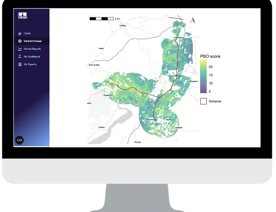
Subscribers will access the service through a modern digital platform, enabling them to see personalised results for their land parcels, and download detailed geospatial opportunity scoring.

Gain access to data related to:
Identify areas which have the best biodiversity opportunities before carrying out habitat surveys
Filter granular geospatial data to view habitat types in the area of interest based on public or your own custom classification
For developments in England, optimise Biodiversity Net Gain outcomes by focussing mitigation in areas with the highest biodiversity opportunities
Understand the impact of habitat loss, nutrients and pollution on watercourses around your site
Provide specific areas of interest to target biodiversity data in your chosen area and hide vast amounts of irrelevant data
For Scotland, Wales and Ireland, maximise the positive impact on Nature during your development planning process
A digital model available 24/7:

Personalised results
Define your area of interest to see results only relevant to your site

Custom projects
Provide custom habitat classifications or other inputs

Visual Results
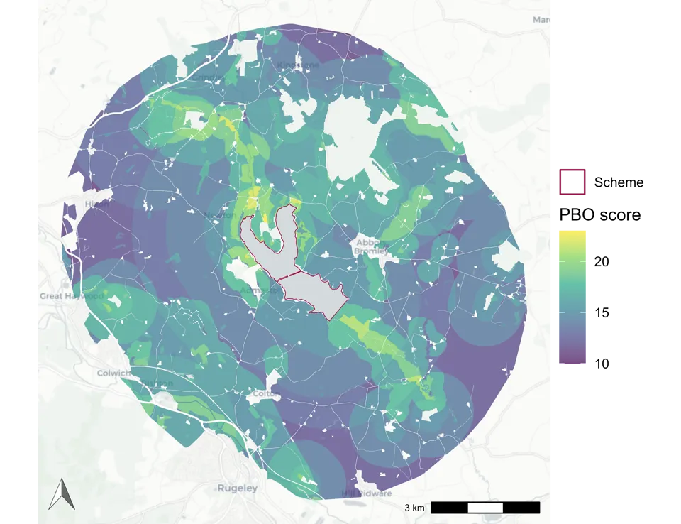
See your results as a map identifying hot spots for further analysis

Proprietary Scoring
Comprehensive scoring developed by our ecology experts for our clients

Geospatial data
Downloadable results files for further analysis in your preferred GIS platform

Specialist Support
Fast track contact to our specialist ecology experts, for complex cases
Results in 4 simple steps
-
Import area - Identify your personalised geographic area of interest
-
Run analysis - A few minutes to a couple of hours depending on dataset size
-
Receive notification - When your result set or expert consultation is ready
-
View & download results - Including geospatial data files for further GIS analysis
Results set downloaded for comprehensive analysis:
- PNG map
-
Detailed, filterable score results
-
Scoring parameter explanations
-
Geospatial data files for use in GIS other preferred tools
The insights that you need, the way you need them
Whether you access needs are, we have the right type of model for you:
-
Recurrent subscription-based access – ideal for land developers or others who need to do ongoing biodiversity opportunity analyses as part of their core business
-
Project-based limited time access – suitable for individual, large scale projects requiring support for biodiversity strategies, e.g. transport infrastructure
-
Single analysis – ideal for small budget projects or doing one-off validations of biodiversity improvement plans


