Emissions inventories

Providing the emissions evidence base to enable cost-effective mitigation of pollutants, supported by expert advice tailored to your needs.
Air quality and GHG emissions evidence
We collect all the emissions evidence needed to assess and monitor air pollution and greenhouse gases at national and sub-national level.
We are designing national emissions inventory models and systems tailored to the local data, to generate the best possible data outputs efficiently and consistently to high standards. Our team has unparalleled emissions inventory knowledge and skills which are widely regarded as examples of good practice internationally, and our experts have contributed significantly to the development of the European EMEP / EEA guidance.


Helping you effectively manage emissions
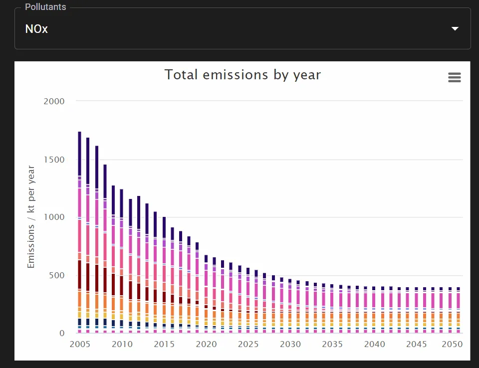
Projections, scenarios, and Net Zero pathways
Unlock a sustainable future with our advanced emissions projections, dynamic emissions scenario tools, and strategic net zero pathways.
Our team creates scientifically robust, intuitive, and technologically secure tools for policy makers to run scenarios on future emissions. Users can test the impact of low carbon technologies and other emission reduction measures on local air quality and GHG emissions.

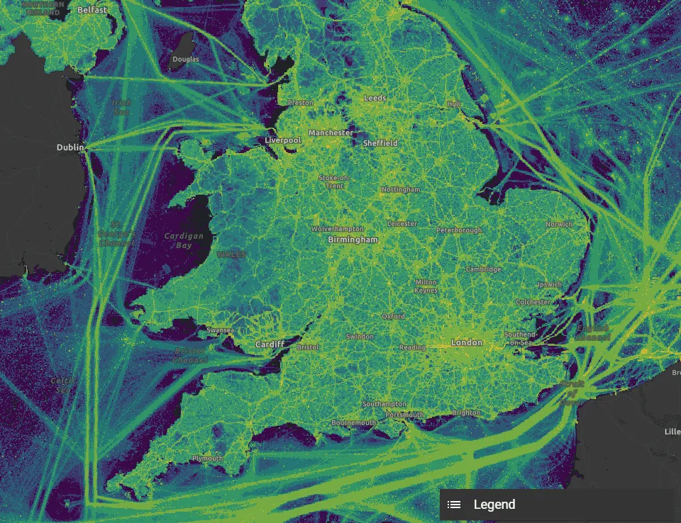
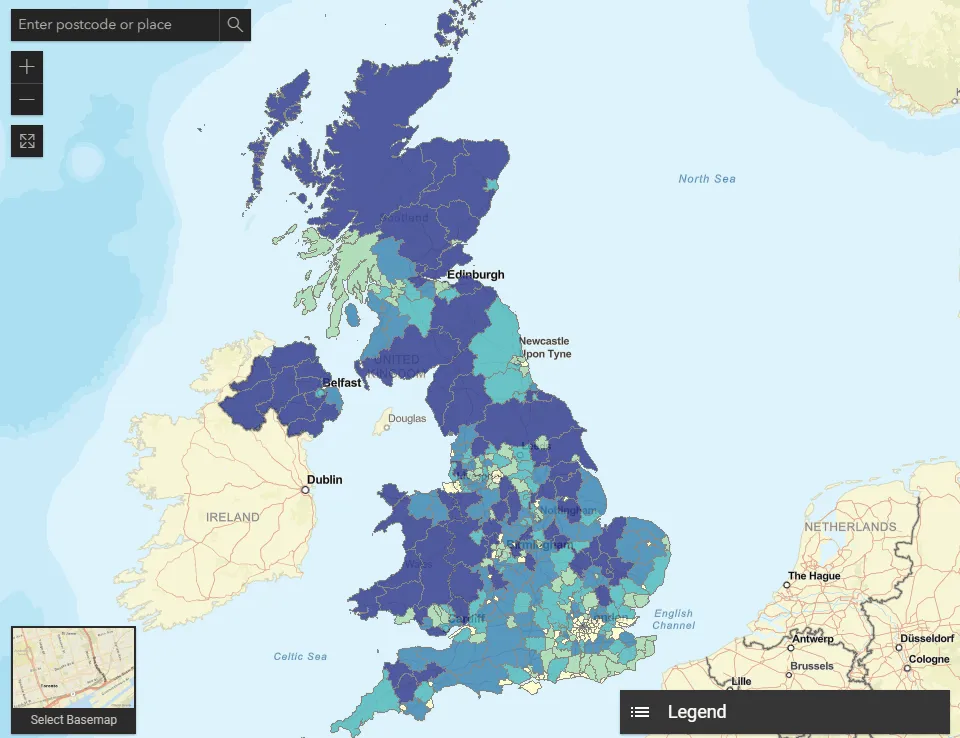
Geospatial emissions data
Create high-resolution spatial emissions inventory and discover insights at a local scale with multi-layered GIS emissions apps.
Ricardo’s geospatial capability combines a wealth of expertise in Atmospheric Science, Geographic Information Systems, Data Science and Earth Observation to tackle some of the most pressing environmental issues related to air quality and climate change. We a proven track record of delivering high-resolution emissions all the way from the collection of the raw data to data analysis & modelling, to reporting and ultimately to publish through bespoke GIS applications.
Local and city emissions inventories
Develop detailed GHG datasets and tools to tackle the climate emergency
Ricardo is instrumental in developing bespoke emissions inventories in response to local authorities’ and cities’ need to understand their full greenhouse emissions within their boundaries, allowing for improved insight into all sources contributing to climate change. These datasets will really help authorities understand the true challenge they face in addressing the climate emergency and where they can best focus their action.
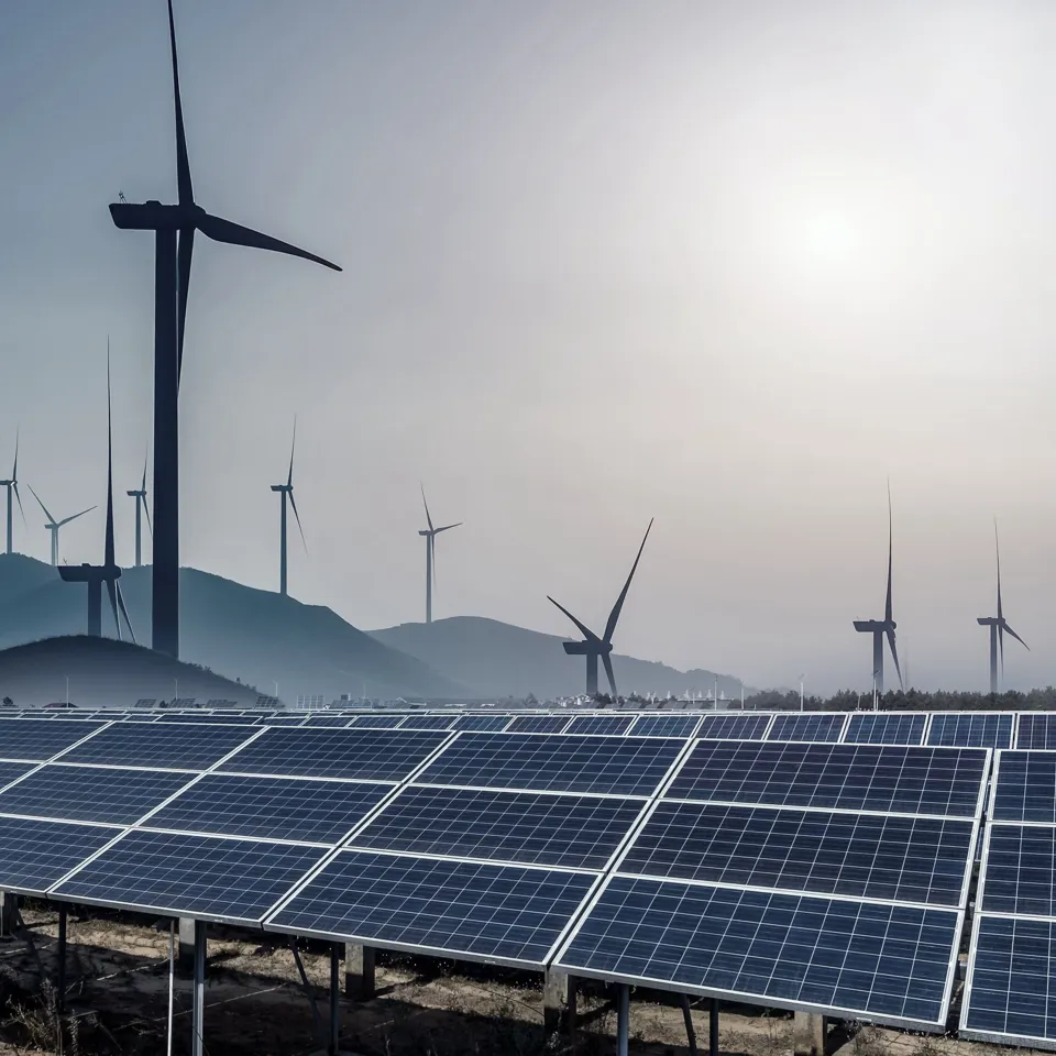
Our strengths
Road Transport
Road transport exhaust, brake and tyre wear emissions contribute significantly to air pollution. Build your bespoke Road Transport Emissions model to estimate the emissions of the pollutants your area needs to tackle. Use your most recent traffic data or find out what is publicly available and design a fully automated system to understand pollution at national or local level. Take advantage of Ricardo’s expert knowledge on transport activity trends and changes in technologies, and run multiple scenarios to calculate future emissions.
Oil and gas
Understand emissions of your oil or gas enterprise. We specialise in creating detailed emissions inventories that accurately analyse emission sources, calculate emissions per appliance and per pollutant. We will help you identify areas for potential cost-effective emissions reduction and help you plan emissions mitigation measures.
Waste
Build your waste model to estimate detailed GHG emissions that will help the policy makers to understand the full impact of activities in their area over time and subsequently develop action plans targeted to those emissions which are most significant or are within their sphere of influence. Our experts can help you map your area's waste streams and develop waste mass balance.
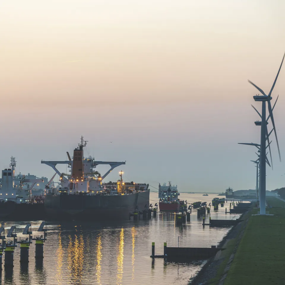
Marine
At a global scale, there is considerable policy interest in reducing emissions associated with both domestic and international shipping. Estimating shipping emissions data would both strengthen the understanding of emissions trends and enhance your ability to monitor progress in reducing emissions. Use localised vessel data - Automatic Identification System (AIS) – and build your bespoke Marine Emissions model to distinguish and report domestic and international shipping emissions, as well as forecast future emissions and scenarios.
Emissions inventories Resources